


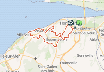

33 km | 41 km-effort


User


FREE GPS app for hiking
 SityTrail
IGN / Geographical institutes
SityTrail World
The world is yours!
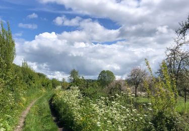
Trail Mountain bike of 30 km to be discovered at Normandy, Calvados, La Rivière-Saint-Sauveur. This trail is proposed by Jéjé.
Rando VTT 30 kms. Voir pour le passage au bord de la mer en marais basse. Car présence d'épis rochers sur le haut sur le GR portage difficile pour les VTT-élec.
Walking

Walking
Walking
Walking

On foot
Walking
Walking
Mountain bike
belle rando